
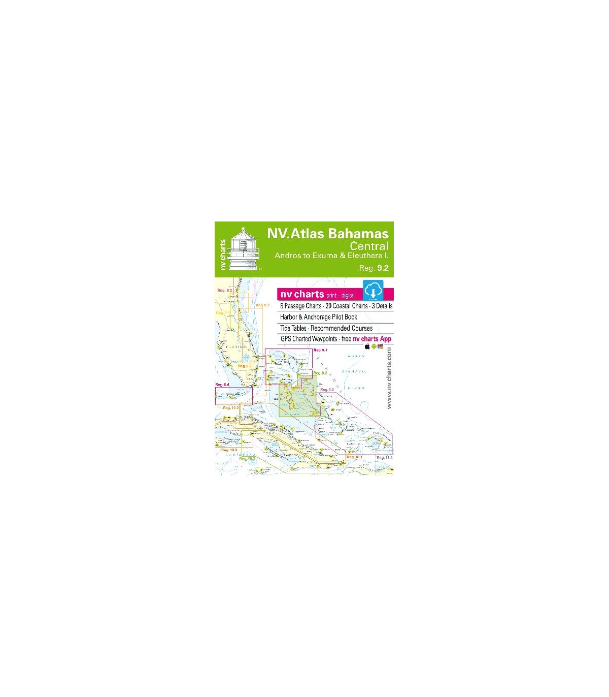

NV charts Bahamas Central - carte marine
Andros to Exumas & Eleuthera Islands.
- Cartes Hauturières, Cartes Côtières & Détails, aussi bien en papier qu'en numérique.
- logiciel de navigation inclus
- nv charts Application
Passage Charts
B0 Caribbean Sea 1: 6,500,000
B31 Central Bahamas 1: 900,000
B32 Tongue of the Ocean 1: 340,000
B33 Exuma Sound 1: 340,000
B34 Bight of Eleuthera 1: 340,000
B55A Andros East Coast · Northern Part 1: 200,000
B55B Andros East Coast · Middle Part 1: 200,000
B55C Andros East Coast · Southern Part 1: 200,000
Coastal Charts
B35 Eleuthera Island (Northern Part) 1: 90,000
B36 Eleuthera Island (Western Part) 1: 90,000
B37 Eleuthera Island (Eastern Part) 1: 90,000
B38 Eleuthera Island (Southern Part) 1: 90,000
B39 Eleuthera Island · Spanish Wells to Harbour Island 1: 40,000
B40 Six Shilling Cay to Beacon Cay 1: 90,000
B41 Exumas · Sail Rocks to Long Rock 1: 40,000
B42 Exumas · Long Rock to Wax Cay 1: 40,000
B43 Exumas · Wax Cay to Cistern Cay 1: 40,000
B44 Exumas · Cistern Cay to Bell Island 1: 40,000
B45 Exumas · Bell Island to Staniel Cay 1: 40,000
B46 Exumas · Big Majors Spot to Great Guana Cay 1: 40,000
B47 Exumas · Great Guana Cay to Big Farmers Cay 1: 40,000
B48 Exumas · Big Farmers Cay to Bock Cay 1: 40,000
B49 Exumas · Bock Cay to Great Exumas (Brigantine Cays) 1: 40,000
B50 Exumas · Great Exumas I. (Central Part) 1: 40,000
B51 Exumas · Great Exumas I. (Eastern Part) 1: 40,000
B52 Exumas · Little Exumas I. to Hog Cay 1: 40,000
B53A George Town Approaches 1: 20,000
B53B Compass Cay to Sampson Cay Approaches 1: 25,000
B54 Warderick Wells Cay · Exuma Cay I. & Sea Park 1: 12,000