
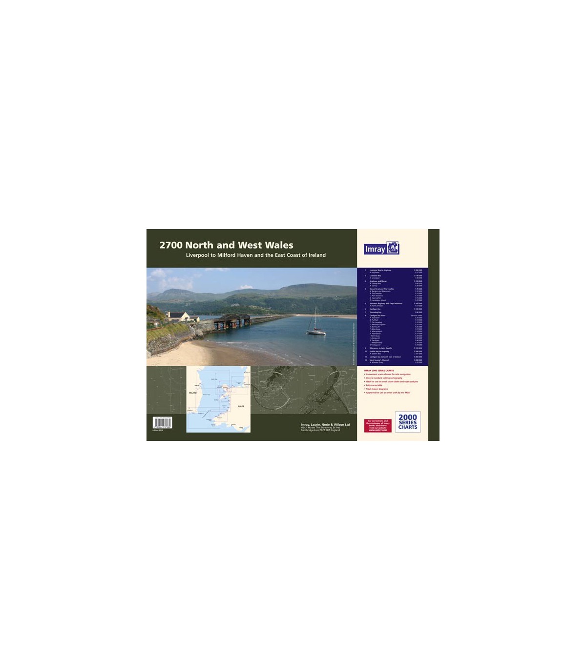

2700 North and West Wales Chart Atlas - Carte marine Imray
2700.1 Liverpool Bay to Anglesey (1: 280 000 WGS 84) Plans: Holyhead
2700.2 Anglesey and Menai (1: 145 000 WGS 84) Plans: Conwy Bay, Conwy
2700.3 Southern Anglesey and Lleyn Peninsula (1: 145 000 WGS 84) Plans: Porth Dinlläen
2700.4 Cardigan Bay to South East of Ireland (1: 300 000 WGS 84)
2700.5 Cardigan Bay (1: 145 000 WGS 84)
2700.6 Aberaeron to St David’s (1: 155 000 WGS 84)
2700.7 St George’s Channel (1: 280 000 WGS 84) Plans: Kilmore Quay
2700.8 Menai Strait and The Swellies (1: 70 000 WGS 84) Plans: Bangor and Beaumaris, The Swellies, Port Dinorwic, Caernarfon, Llanddwyn Island
2700.9 Cardigan Bay Plans (1: various WGS 84) Plans: Abersoch, Pwllheli, Porthmadog, Mochras Lagoon, Barmouth, Aberdovey, Aberystwyth, Aberaeron, New Quay, Aberporth, Cardigan, Newport Bay, Fishguard
2700.10 Tremadog Bay (1: 80 000 WGS 84)
2700.11 Dublin Bay to Anglesey (1: 280 000 WGS 84)
Plans: Dublin Bay
2700.12 Liverpool Bay (1: 145 000 WGS 84)
Plans: Liverpool
This May 2016 edition has been updated throughout, with the latest known depth surveys and up-to-date wind farm information.