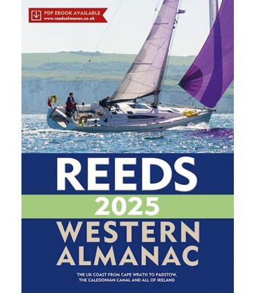
Le Reeds Western Almanach couvre le littoral de Wrath de cap à Padstow ainsi que l'ensemble de l'Irlande.
The Reeds Western Almanac covers the coastline from Cape Wrath to Padstow as well as the whole of Ireland, and is ideal for any boater lucky enough to cruise and race in the superb waters off the coast of Wales, Western Scotland, Ireland or Western England.
Completely updated for 2025, it offers ready access to essential navigation information by virtue of its clear layout and user friendly format. Topics include seamanship, pilotage, tide tables, safety procedures, navigation tips, radio, lights, waypoints, weather forecast information, communications, Mayday and distress procedures. The large type size and clear layout, including full colour harbour plans and diagrams throughout, makes information easy to read even in adverse conditions. It is the complete guide for both Irish and Welsh mariners as well as those cruising the UK west coast.
Covers the UK west coast from Cape Wrath to Padstow and the whole of Ireland.
Full colour harbour plans and diagrams throughout.
Large type size and clear layout makes information easy to read even in adverse conditions.
Comes with a free Marina and Services Guide.
Ideal for anyone cruising Welsh, western Scottish and English waters, or the whole of Ireland.


