
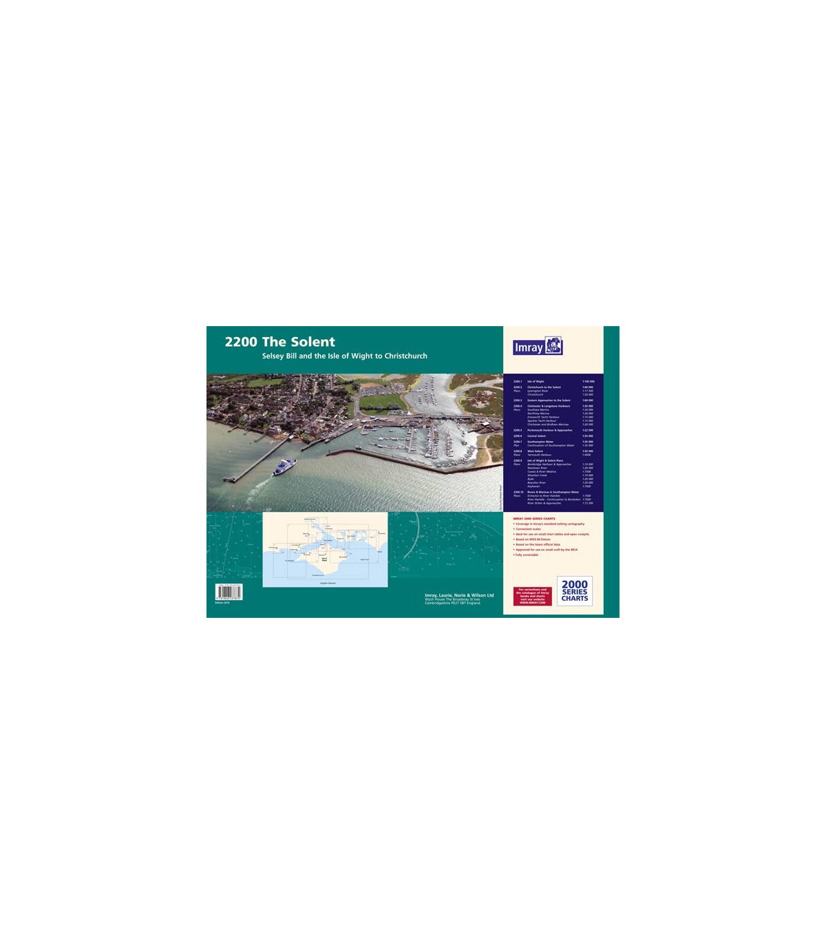

2200 Solent Chart Pack - Carte marine Imray
2200.1 Isle of Wight (1:100 000)
2200.2 Christchurch to the Solent (1:60 000)
2200.3 Eastern Approaches to the Solent (1:60 000)
2200.4 Chichester and Langstone Harbours (1:35 000)
2200.5 Portsmouth Harbour and Approaches (1:22 500)
2200.6 Central Solent (1:35 000)
2200.7 Southampton Water (1:35 000)
2200.8 West Solent (1:35 000)
2200.9 Isle of Wight and Solent Plans (various scales)
2200.10 Rivers and Marinas in Southampton Water (various scales)
For this January 2016 edition the chart pack has been fully updated throughout with the latest known depth surveys and Firing Practice Areas. The 2016 Solent racing buoy names and positions are shown.