
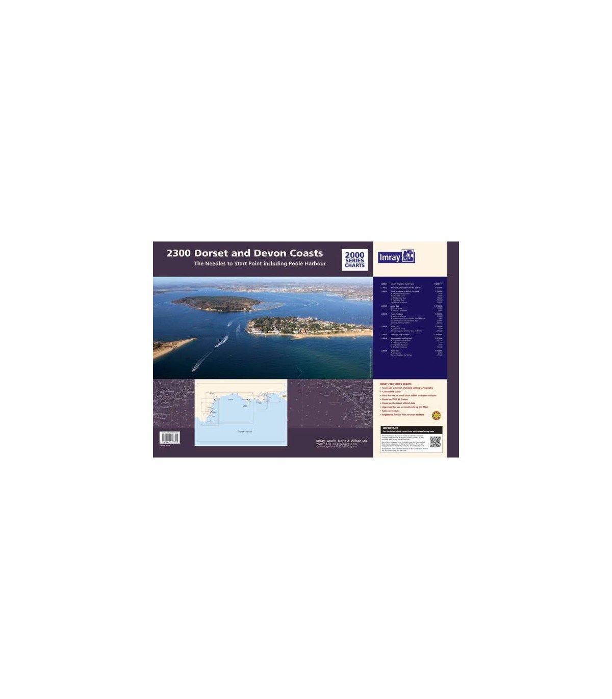

2300 Dorset and Devon Coasts Chart Pack - Carte marine Imray
2300.1 Isle of Wight to Start Point (1: 325 000)
2300.2 Western Approaches to the Solent (1: 60 000)
2300.3 Poole Harbour to Bill of Portland (1: 75 000) includes plans: Weymouth Harbour, Lulworth Cove, Worbarrow Bay, Swanage Bay, Portland Harbour, Chapman’s Pool
2300.4 Lyme Bay (1: 175 000) includes plans: Lyme Regis, Bridport Harbour
2300.5 Poole Harbour (1: 20 000) includes plans: Salterns Marina, Moriconium Quay & Lake Yard Marina, Continuation of Studland Bay, Poole Harbour West
2300.6 River Exe (1: 21 500) includes plans: Exmouth Dock, River Exe continuation to Exeter
2300.7 Exmouth to Salcombe (1: 100 000)
2300.8 Teignmouth and Tor Bay (1: 55 000) includes plans: Teignmouth Harbour, Torquay Harbour, Paignton Harbour, Brixham Harbour
2300.9 River Dart (1: 15 000) includes plans: Kingswear, Continuation to Totnes
For this December 2015 edition of the 2300 pack, all the sheets in the folio now share the same edition date. This chart pack has been fully updated throughout with the latest known depth surveys and buoyage. A new inset plan of Chapman’s Pool has been added.